Private beta · not open yet
This is The Lines Project.
Every line, one map.
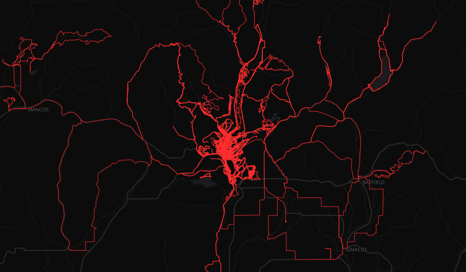
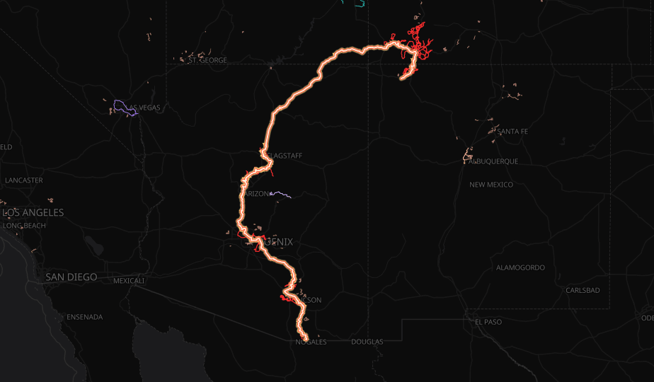
Visualize your entire active life in gorgeous detail. It’s more than just a heatmap — it’s a network. Every ride, hike, run, and every other activity you've recorded, stitched into one living web that counts the unique miles you've explored and shows you where the next line should go. We're still building. Leave your email below, and you'll be the first to know when it opens.
Get notified when The Lines Project launches.
You're on the list.
We'll write to you the day the map opens.